Scan Address From Shipping Label: OCR Scanner App 2026

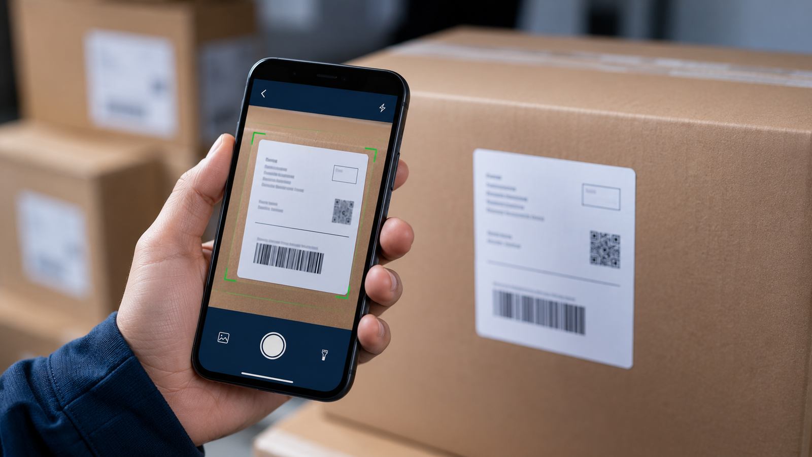
Scan Address From a Shipping Label: The Best OCR Delivery Address Scanner App (2026)
If you deliver packages, you already know the slowest part of the whole job isn't the driving — it's getting addresses into your phone. Typing out a stack of shipping labels by hand is tedious, error-prone, and burns time you're not paid for. One transposed digit and you're standing at the wrong house. There's a far better way: scan the address straight off the label with your camera.
An OCR delivery address scanner reads the text on a shipping label and turns it into a usable stop in seconds — no typing. This guide explains how address scanning works, why it's a game-changer for multi-stop drivers, what you can scan, and how to pair it with route optimization so your whole day gets faster. Current for 2026.
Stop typing. Start scanning.
Delivery Route Planner lets you scan an address right off a shipping label with your camera, then optimizes your whole route and navigates each stop in Apple Maps, Google Maps, or Waze. Load a full route in minutes.
What is an OCR address scanner?
OCR stands for Optical Character Recognition — technology that reads printed text from an image. An OCR address scanner uses your phone's camera to look at a shipping label, packing slip, or document, recognize the delivery address printed on it, and convert that into a stop you can add to your route. Instead of squinting at a label and typing it out, you point, capture, and the address is in. It's the same technology that lets your phone copy text from a photo, applied to the one task delivery drivers repeat dozens of times a day. Pairing it with a route planner turns a pile of packages into an optimized route fast.
Why typing addresses is killing your efficiency
Manual address entry costs you in three ways that all add up:
- Time. Typing one address takes 20 to 40 seconds. Across fifty stops that's the better part of half an hour of unpaid setup before you've moved an inch.
- Typos. A single wrong digit or misspelled street sends you to the wrong location — a wasted drive, a late delivery, and a frustrated customer.
- Fatigue. Tapping out addresses on a small screen is exactly the kind of tedious work that wears you down before the real job starts.
Scanning removes all three at once. You capture each address in a second or two, the text comes straight from the label so it's accurate, and your thumbs get a break. That's why fast address entry is one of the first things experienced drivers look for in a delivery app.
How scanning an address from a label works
The workflow is about as simple as it gets:
- Open the scanner. Tap the scan option in your route planner to bring up the camera.
- Point at the label. Frame the shipping label or document so the address is clearly visible.
- Capture. The app reads the address with OCR and adds it as a stop — review it to confirm it's right.
- Repeat, then optimize. Scan the rest of your packages, then let the app sequence them into the fastest route.
From there you navigate each stop in your preferred maps app. The whole point is that capturing your stops stops being the bottleneck — you can try the scan-and-optimize flow free.
Typing vs scanning: the difference
| Factor | Typing by hand | Scanning with OCR |
|---|---|---|
| Speed per address | 20–40 seconds | 1–2 seconds |
| Typo risk | High | Low |
| Fatigue | Significant over a route | Minimal |
| 50-stop setup time | ~25 minutes | A few minutes |
Over a full route the gap is enormous — and it repeats every single day you work. That recovered time is exactly why a scanner pays for itself fast, which you can see for yourself in the app.
Who benefits from address scanning?
Anyone who handles a stack of packages with printed addresses:
- Gig delivery drivers on Amazon Flex, Spark, and similar, scanning package labels at the start of a block.
- Couriers and independent contractors loading dozens of stops without a dispatcher.
- Small business owners doing their own local deliveries from packing slips.
- Field service and sales reps capturing addresses from documents on the go.
If your day starts with a pile of labels, scanning them into a route planner is the fastest way to get rolling.
Tips for the best scan results
OCR is reliable, but a few habits make it near-perfect:
- Good lighting. A well-lit label reads more accurately than one in shadow.
- Hold the label flat. Crumpled or curved labels can distort the text.
- Avoid glare. Glossy labels under direct light can wash out — tilt slightly to kill the reflection.
- Always glance at the result. Printed labels scan cleanly; faded or handwritten ones may need a quick check or manual fix before you confirm the stop.
With those in mind, scanning becomes the fastest, most accurate way to build a route — far ahead of typing. You can put it to work in Delivery Route Planner today.
Scan it. Optimize it. Drive it.
Capture addresses off your labels with the camera, optimize the whole route in seconds, and navigate each stop with Apple Maps, Google Maps, or Waze. The fast way to start every delivery day.
Frequently asked questions
What is an OCR delivery address scanner?
It's a tool that uses your phone's camera and Optical Character Recognition to read a delivery address printed on a shipping label or document and turn it into a stop on your route — no typing required. It's the fastest way to load addresses into a route planner.
How do I scan an address from a shipping label?
Open the scan feature in your route planner to launch the camera, frame the shipping label so the address is clearly visible, and capture it. The app reads the address and adds it as a stop. Scan the rest of your packages, then optimize the route order.
Is scanning addresses faster than typing them?
Much faster. Typing an address takes 20 to 40 seconds, while scanning takes one to two. Across a fifty-stop route that's the difference between roughly 25 minutes of setup and just a few minutes, plus far fewer typos that send you to the wrong location.
Can it scan handwritten addresses?
OCR is most accurate with clearly printed labels. Handwritten or faded addresses may read less reliably, so it's best to glance at the result and correct it if needed before confirming the stop. For standard printed shipping labels, scanning is highly accurate.
What can I scan besides shipping labels?
Anything with a printed address — shipping labels, packing slips, invoices, or documents. As long as the address text is clear and well lit, the scanner can capture it and add it to your route.
Does an address scanner work with route optimization?
Yes — that's the real value. After scanning all your stops, a good route planner optimizes them into the fastest order and lets you navigate each one in Apple Maps, Google Maps, or Waze, so scanning, optimizing, and driving all happen in one app.
scan address from shipping label appocr delivery address scannerscan delivery address appaddress scanner for driversscan label add to routeocr route plannercapture address from labeldelivery address scanning app